Geo-Tag Mapper
Plots geotagged images on a virtual globe
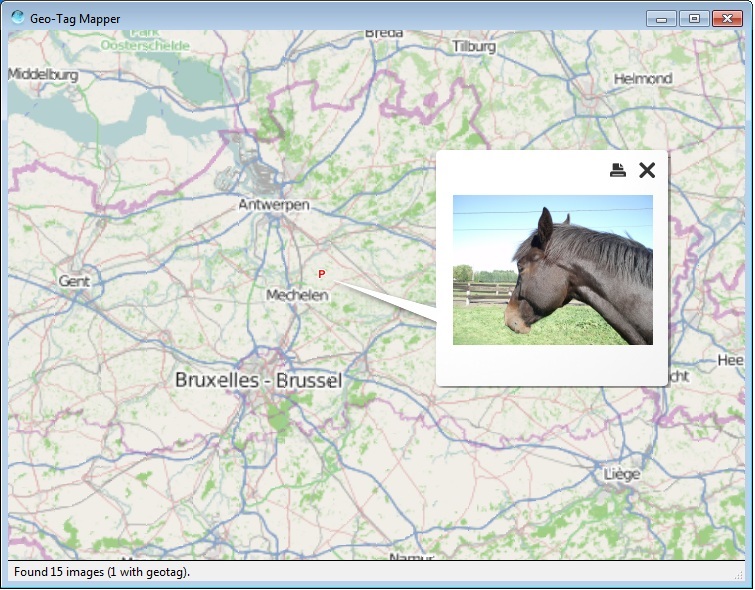
Geo-Tag Mapper scans a directory and its subdirectories for images that have a geotag. These geotagged images are then plotted on a virtual globe. Preview the image by clicking on the placemark.
Geo-Tag Mapper is Freeware.